 Nature
Connection
Nature
Connection

|
|
|
|
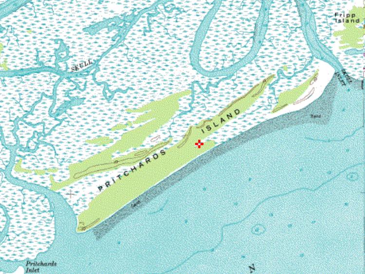
Journey to a Barrier Island(Pritchards Island, south of Fripp Island)Click on the thumbnails to enlarge
nThere
are many drumstick shaped barrier islands along the coast of South Carolina.
nThis
is the result of the transport of sand parallel to the beach known as longshore
drift.
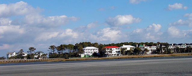
Because of their beauty, some barrier islands like Fripp, have a population density several times the national average. Some, because of their lack of water and accelerated rate of erosion like Pritchards, are unsuited for development.
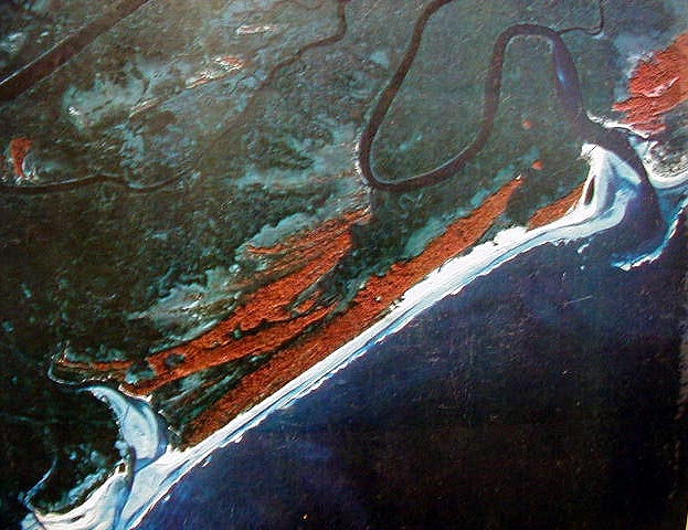
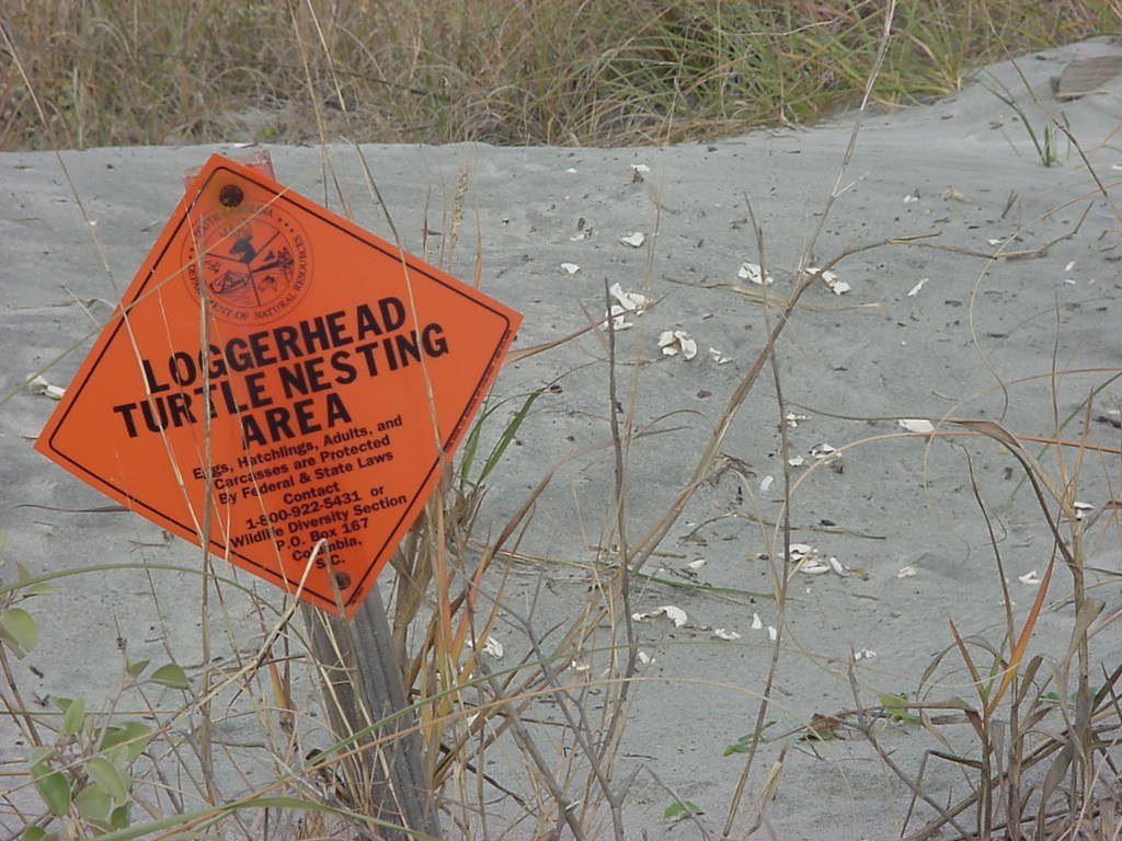
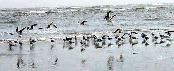
Infrared Photo Pritchards Island Fripp Island Pritchards Island is one of the last undisturbed nesting areas for the endangered loggerhead turtle, the least tern and many other shore birds.
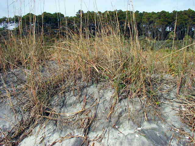
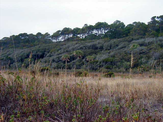
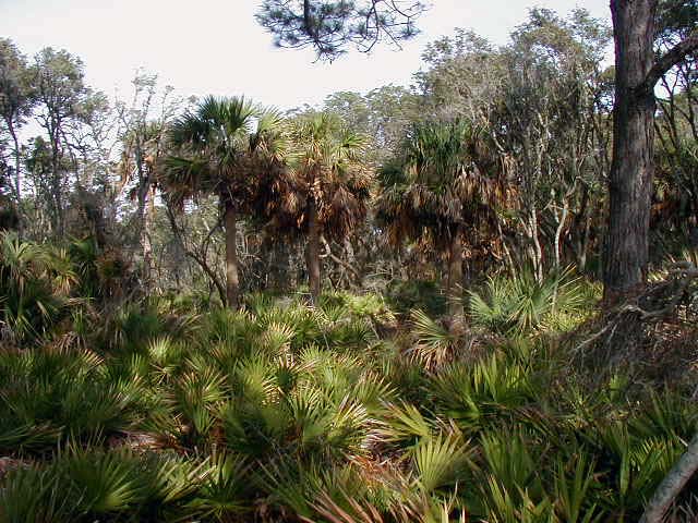
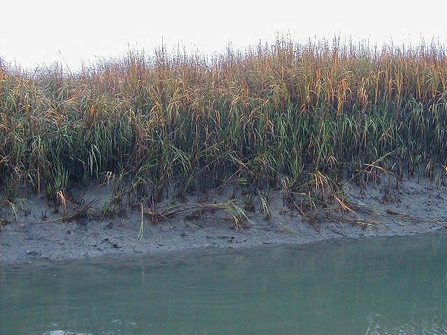
nDunes
are formed when decaying plant matter, deposited at the high water mark,
accumulates blowing sand and seeds.
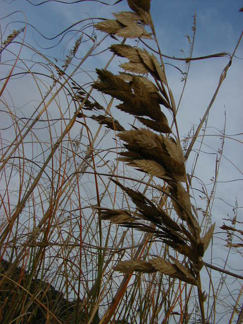
nAs
plants grow, their roots stabilize and trap more sand, eventually building
dunes. Sea Oats are so valuable in colonizing and stabilizing the dunes that
it is illegal to cut or pick them. Behind the primary dunes, stunted,
salt-pruned shrubs covering the secondary dunes, with the taller maritime
forest in the background, give the false illusion of a high hill or bluff.
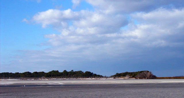
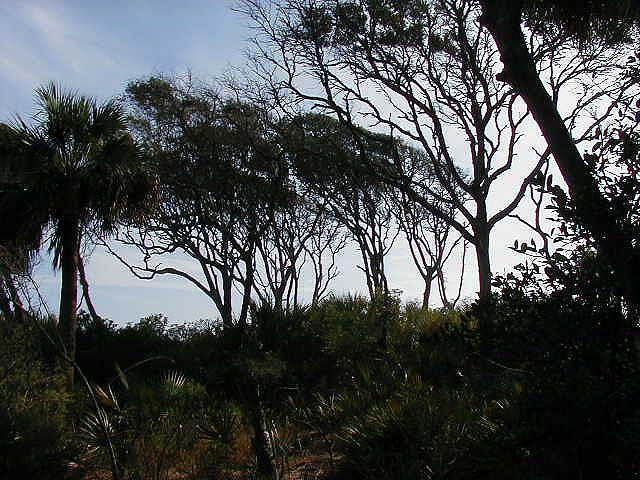
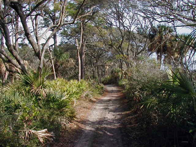
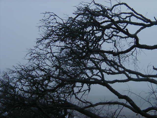
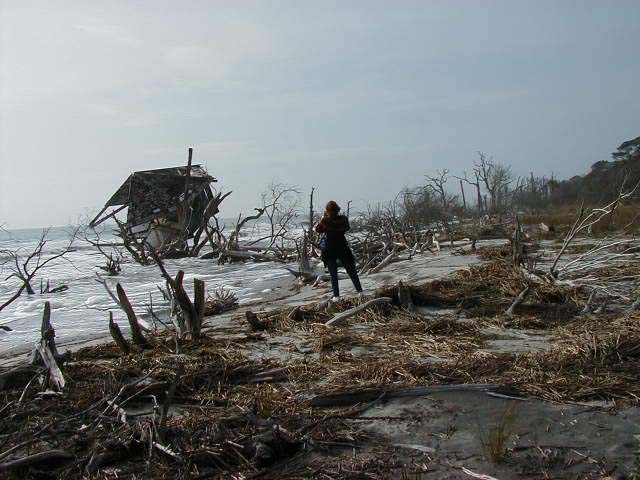
Life on a barrier island is a harsh one. Trees on the seaward
edge of the maritime forest are dwarfed and have flattened top branches from
the pruning action of the salt spray. The back side of the maritime forest
is lush by comparison, and it provides food and shelter for a number of
animals.
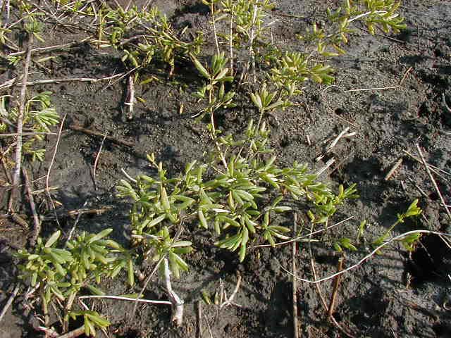
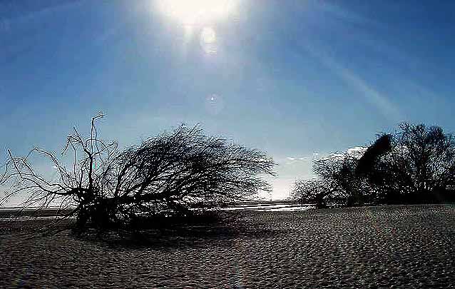
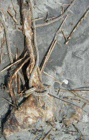
The key to survival lies in adaptations that allow plants like glasswort to flourish despite the hostile conditions of wind, salt and fluctuating water levels. Many do not survive, but remain only as skeletal reminders.
A walk on the beach provides mute testimony to struggles lost on land and sea.
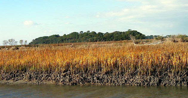
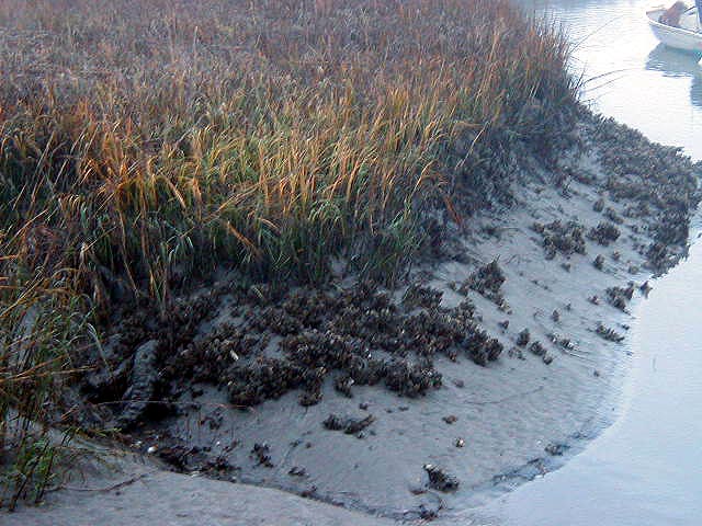
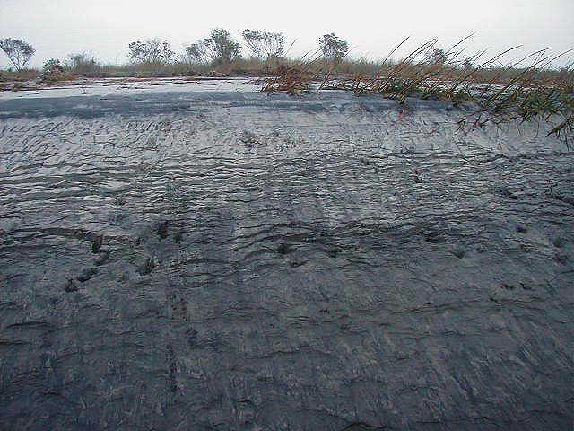
At the back of a barrier island, salt water enters estuaries through inlets. The salt marsh is 5 to 10 times more prolific than the richest agricultural land. One acre of spartina can support 1,000,000 fiddler crabs.
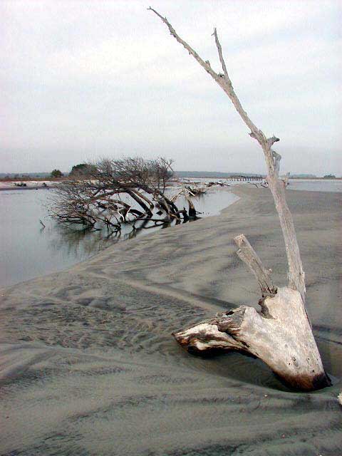
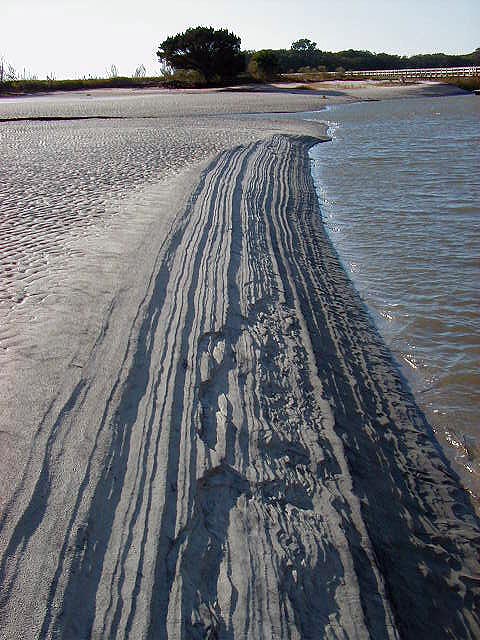
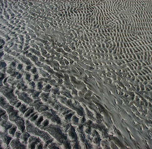
The life of a barrier island is written by the elements. The ebb and flow of the tides etch signatures in the sand in an endless cycle of change.
If you would like to view a more in depth presentation, please download the self-running PowerPoint presentation, Pritchard.pps by going to the Projects page and linking to the download site through the Presentations section. You may also download an album with more pictures taken on Pritchards Island. If you would like to view our previous presentation on Glassy Mountain in Pickens County, SC, click here.
|
Send mail to natcon@bellsouth.net with questions or comments about this web site.Webmaster: A.B. Marshall
|